|
| *****SWAAG_ID***** | 444 |
| Date Entered | 31/01/2012 |
| Updated on | 31/01/2012 |
| Recorded by | Tim Laurie |
| Category | Settlement |
| Record Type | Archaeology |
| SWAAG Site | Grinton Pastures |
| Site Access | Private |
| Record Date | 01/11/2011 |
| Location | Low Whita |
| Civil Parish | Grinton |
| Brit. National Grid | SE 0050 9815 |
| Altitude | 215m |
| Record Name | Low Whita. Settlement above Scabba Wath. |
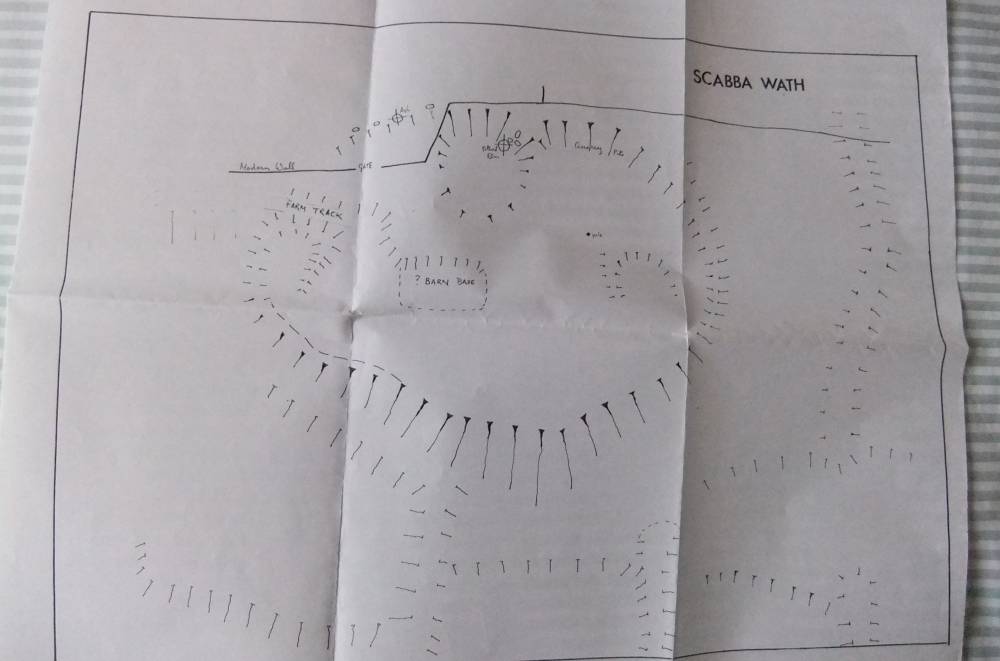
| Record Description | Large enclosed curvilinear platform settlement with associated field system. |
| Additional Notes | Plane table surveys of settlement and field system by T.C. Laurie in 1990's by kind permission of Mr Clarkson of Low Whita Farm.
This settlement is a substantial and very well preserved farmstead with arable fields located above a ford across the Swale and may date to the Late Iron Age or period of Roman Occupation. Large platform settlements like this are usually abandoned and reoccupied at different periods. |
| Image 1 ID | 2198 Click image to enlarge |
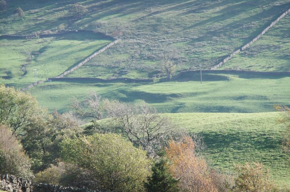
| Image 1 Description | Settlement above Scabba Wath from Morley Gate. |  |
| Image 2 ID | 2199 Click image to enlarge |
| Image 2 Description | The settlement platform. |  |
| Image 3 ID | 2200 Click image to enlarge |
| Image 3 Description | The settlement and field system. | 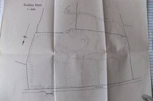 |
| Image 4 ID | 2201 Click image to enlarge |
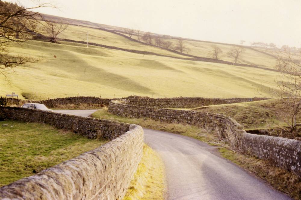
| Image 4 Description | The settlement and field system from Scabba Wath Bridge. |  |
| Image 5 ID | 2202 Click image to enlarge |
| Image 5 Description | Elm Pollard at rear scarp of settlement, now long dead, with Andrew Fleming, Oliver Rackham and EAL | 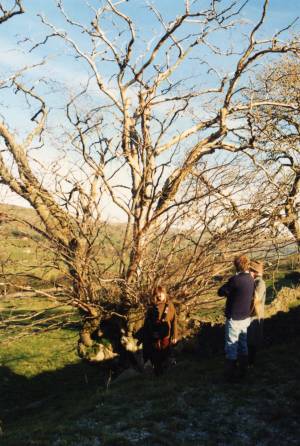 |